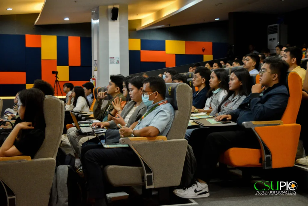
Butuan City, August 9, 2024 — The Caraga Center for Geo-informatics (CCGeo), in collaboration with the Department of Geodetic Engineering from the College of Engineering and Geosciences (CEGS) and the College of Agriculture and Agri-industries (CAA), successfully launched the first Geo-Spatial Technologies for Earth Monitoring Symposium (GEO-STEMS) 2024. The event occurred at the HERO Learning Commons auditorium of Caraga State University (CSU).
Under the theme “Advancing Sustainable Agriculture and Ecosystem Management through Remote Sensing and Other Geospatial Technologies,” the symposium aimed to showcase advancements in remote sensing technologies
Engr. Meriam Makinano-Santillan, the symposium chair, provided the rationale for the event, emphasizing the importance of integrating remote sensing technologies in environmental management.
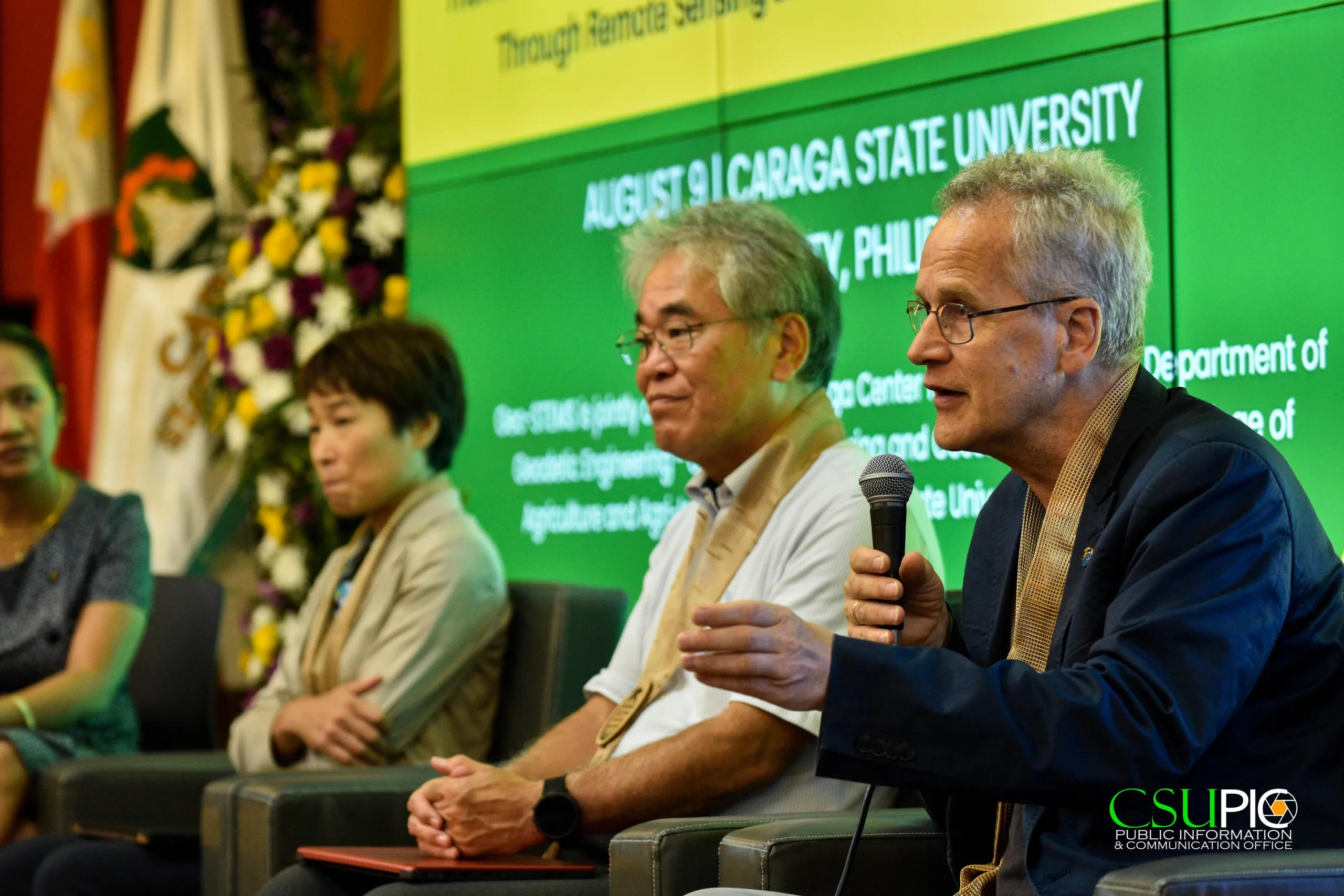
The symposium featured presentations from six distinguished experts in remote sensing. Dr. Christian Heipke of the Institute of Photogrammetry and GeoInformation, Leibniz University in Hannover, Germany, and Dr. Mitsunori Yoshimura from Nihon University, Japan, were among the international speakers. Dr. Megumi Yamashita from Tokyo University of Agriculture and Technology, Japan, and Ms. Jean Rochielle F. Mirandilla from the United Graduate School of Agricultural Science, Tokyo University, also shared their insights. Local contributors included Engr. Arturo G. Cauba, Jr., and Engr. Jojene R. Santillan from CSU’s Department of Geodetic Engineering and the Caraga Center for Geo-Informatics.
The symposium also drew representatives from other State Universities and Colleges (SUCs), such as Agusan del Sur State College of Agriculture and Technology (ASSCAT) and Central Mindanao University (CMU), as well as the National University of Science and Technology from Oman. Local stakeholders included the Department of Education (DepEd) Sibagat, the Local Government Unit (LGU) of Butuan, the Department of Science and Technology (DOST) Caraga, PhilRice Agusan, and the Department of Agriculture Caraga.
A Memorandum of Understanding between CSU and the Institute of Photogrammetry and GeoInformation at Leibniz University Hannover was also signed, paving the way for future partnerships and collaborations.
The event was streamed live on Zoom and Facebook Live, allowing wider access and participation in the discussions on advancing geospatial technologies for sustainable development.